
USVPRO IS A MEMBER OF OGC AND OPERATES IN PARTNERSHIP WITH OGC.
About OGC
The Open Geospatial Consortium (OGC) is an international consortium of more than 500 businesses, government agencies, research organizations, and universities driven to make geospatial (location) information and services FAIR – Findable, Accessible, Interoperable, and Reusable.
OGC’s member-driven consensus process creates royalty free, publicly available, open geospatial standards. Existing at the cutting edge, OGC actively analyzes and anticipates emerging tech trends, and runs an agile, collaborative Research and Development (R&D) lab – the OGC Innovation Program – that builds and tests innovative prototype solutions to members’ use cases.

International Standards Committee
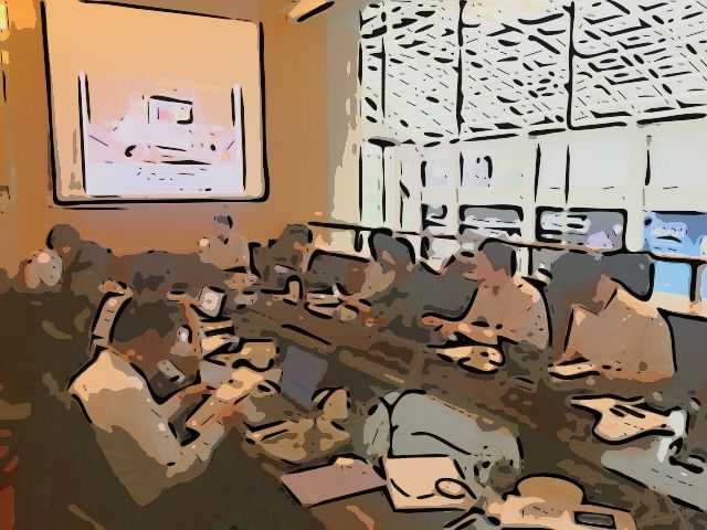
The International Committee regularly holds study meetings with guests from overseas.
Promotion of international exchange
We also actively attend international conferences that are held regularly to promote technological development based on the latest information.

Members of the International Commission
Nobuhiro Ishimaru, Chikako Kurokawa, Tomohisa Oishi, Kentaro Akahoshi and others